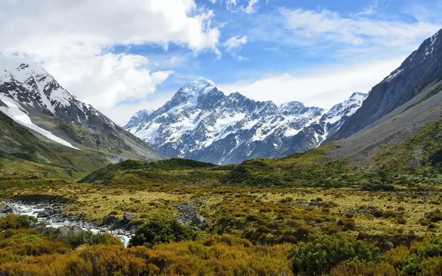
Cheapest here632 reviews
13 hMount Cook & Lake Tekapo Day Tour
★ 4.8 · 632 reviews
- 13 hours, to Aoraki Mount Cook
- Small-group day tour
- Cheapest here
- Free cancellation
$130$10.00 / hour
Check availability→ Six tracks, one of them famous
Almost every Mount Cook hike is free. Six marked tracks leave the village and the White Horse Hill car park, they need no permit, no booking and no guide, and the best-known of them — the Hooker Valley Track — is ten kilometres return, almost flat, and ends at a lake with icebergs floating in it. This page lists all six with the Department of Conservation’s own times and distances, and then says which one you cannot do on foot at any price.
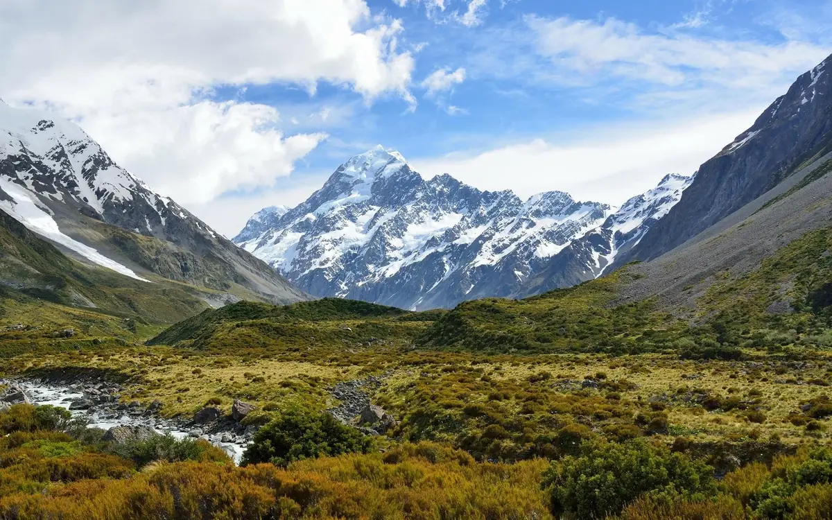
Quick answer
The short answer. Do the Hooker Valley Track. Ten kilometres return, about three hours, three swing bridges, and it costs nothing. If you have a second afternoon, add Kea Point or the Tasman Glacier View Track. If you want to be on a glacier rather than looking at one, that is a heli hike from $497 and there is no walking alternative.
The park in one paragraph
One road, one village, three valleys, six tracks. Nothing else to work out.
Aoraki / Mount Cook National Park is a dead end, and that is what makes it easy to plan. State Highway 80 leaves SH8 at the foot of Lake Pukaki and runs fifty-five kilometres up the lake to a village of a few hundred beds. Everything stops there.
From the village and the White Horse Hill car park a mile beyond it, six marked tracks fan out into three valleys. The Hooker Valley runs north towards Aoraki itself. Kea Point and Sealy Tarns climb west towards the Mueller. And a separate road, Tasman Valley Road, turns off SH80 on the way in and leads to the Tasman Glacier View Track and the Blue Lakes.
That is the whole network for a day visitor. There is no Mount Cook hike to a summit that a walker can do — Aoraki is 3,724 metres of technical mountaineering — and there is no walking route onto any of the glaciers. What there is, is one of the best short valley walks anywhere, and it is free.
The six
Times and distances are the Department of Conservation’s published figures, not our estimates.
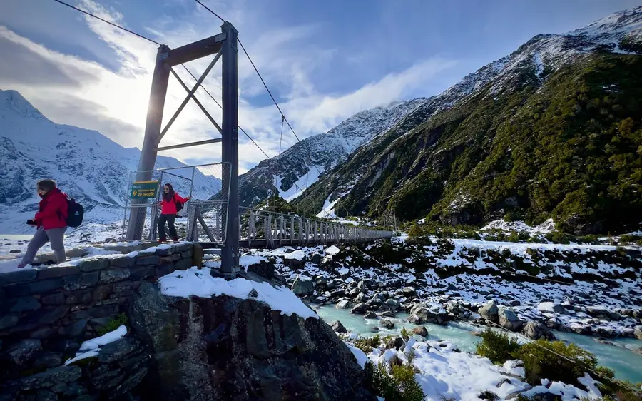
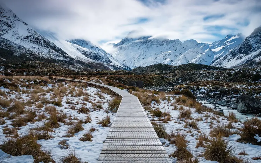
The one everybody means. DOC splits it into fifteen minutes to the first swing bridge, thirty more to the second, and forty-five from there to Hooker Lake. Almost no climb, a well-made surface, and a lake with lumps of ice in it at the end. The new second bridge, opened in July 2026, is 189 metres — the longest suspension bridge in New Zealand.
From the same car park, west instead of north. It ends at a lookout on the moraine wall of the Mueller Glacier, with the Sealy Range above and Aoraki off to the right. The best hour in the park if the weather is closing in.
Up the old moraine wall at the end of Tasman Valley Road. Ten minutes of steps, another five to the top, and you are looking down at Tasman Lake and the grey end of the longest glacier in the country.
A side trip from the same car park. They are green rather than blue now — the glacier that fed them the rock flour has retreated out of reach — which is a small, honest lesson in what is happening to this valley.
The hard one. DOC publishes it as 2,200 steps and warns that the track is very steep and narrows towards the top. Half a day, thighs gone, and the view down the Hooker Valley that ends up in everybody’s photographs.
Do not treat this as a longer walk. DOC is explicit: it needs mountaineering experience, and there can be snow and ice on it from March through November. It is a different activity that happens to start on the same steps.
Wondering which of these you can actually manage? We graded all six honestly.
How hard each walk really is→The one you cannot walk
Every list of Mount Cook hikes has a hole in it, and it is worth naming. None of the six tracks puts you on a glacier.
The Tasman is 23.5 kilometres long, up to four wide and six hundred metres thick — the longest glacier in New Zealand. For the whole of the twentieth century it sat at about twenty-eight kilometres and barely moved. Since the 1990s it has retreated fast, and the space it left has filled with water. Tasman Lake did not exist in 1970. By 1990 the meltponds had merged into one lake, and by 2008 it was around seven kilometres long, two wide and two hundred and forty-five metres deep.
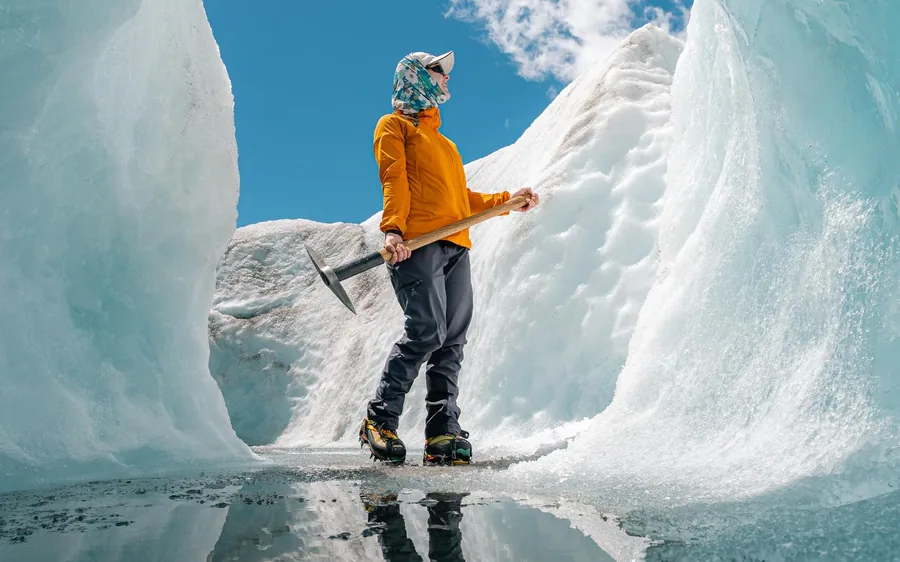
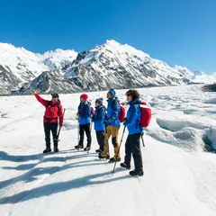
That lake is what stands between the end of Tasman Valley Road and the ice. There is no track around it and no route across it. Which is why the only walking anyone does on the Tasman starts with a helicopter, lands at about thirteen hundred metres, and covers roughly two and a half kilometres in ninety minutes.
Book direct
Three guided heli hikes onto the Tasman, six flights over the park, and three day tours that get you here without a car. In price order. The six walks above are free.
★ 4.8 · 632 reviews
★ 4.8 · 566 reviews
★ 5.0 · 3 reviews
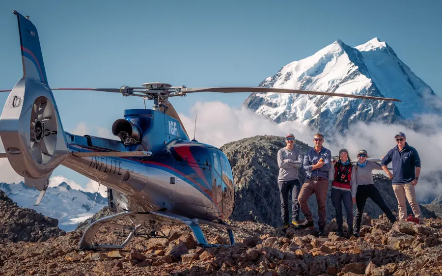
★ 4.7 · 514 reviews
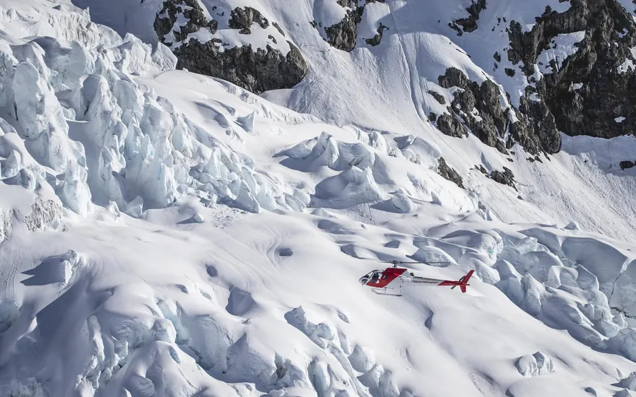
★ 4.8 · 46 reviews
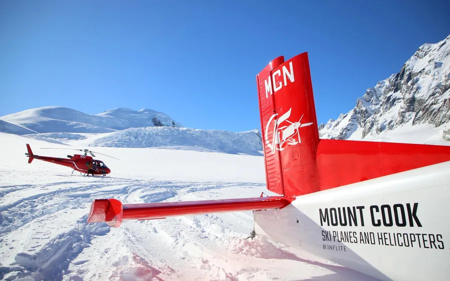
★ 4.7 · 356 reviews
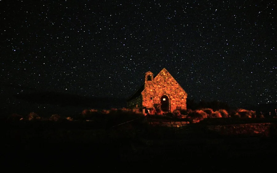
★ 5.0 · 9 reviews
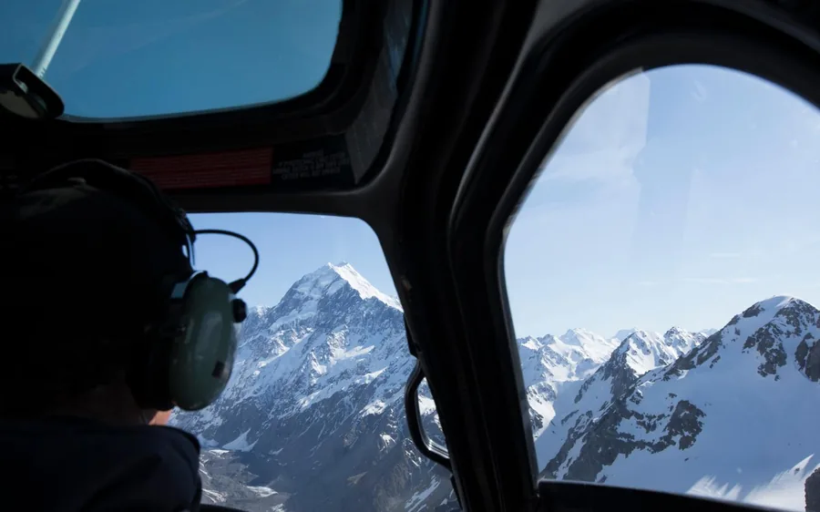
★ 4.7 · 22 reviews
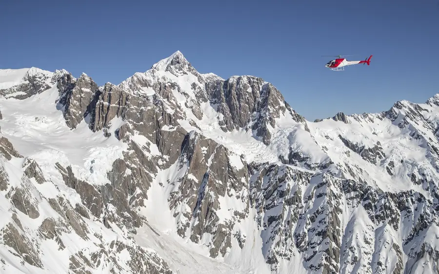
★ 4.7 · 11 reviews
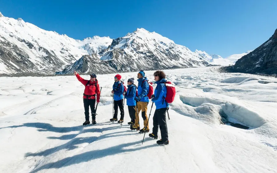
★ 4.9 · 322 reviews
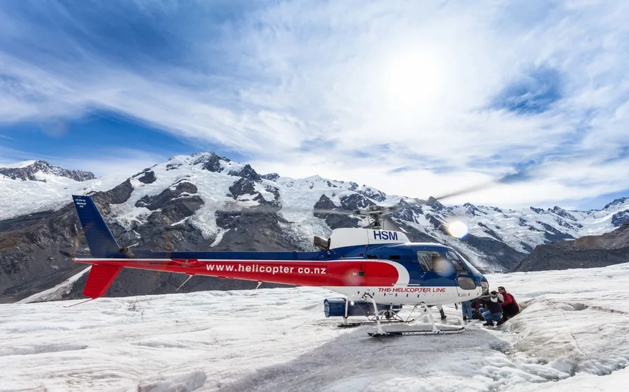
★ 4.8 · 259 reviews
★ 4.3 · 10 reviews
Every trip, current fare
The twelve bookable trips sorted by price, with cost per hour. Read it next to the fact that the best walk in the park costs nothing, and the picture is honest.
| Trip | Duration | Price | On the ice | Cost per hour | Rating |
|---|---|---|---|---|---|
| Mount Cook & Lake Tekapo Day TourThe cheapest day out from Christchurch | 13 h | $130 | No — from the road | $10.00 | 4.8 · 632 |
| Mt Cook & Hooker Valley Day TourThe Hooker Valley, with transport and a guide | 12 h | $152 | No — the valley track | $12.67 | 4.8 · 566 |
| Mt Cook, Tekapo & Tasman GlacierAoraki, Tekapo and the Tasman viewpoint | 13 h | $193 | No — viewpoints | $14.85 | 5.0 · 3 |
| 25-Minute Alpine LandingThe cheapest way onto the snow | 25 min | $210 | Yes, on snow | $504.00 | 4.7 · 514 |
| 30-Minute Alpine LandingHalf an hour, with a landing | 30 min | $268 | Yes, on snow | $536.00 | 4.8 · 46 |
| Ski Plane & Helicopter ComboThe only ski-plane landing in the country | 45 min | $304 | Yes, ski plane on snow | $405.33 | 4.7 · 356 |
| Tekapo Stargazing & Mount CookAoraki by day, the darkest sky by night | 2 days | $320 | No | $6.67 | 5.0 · 9 |
| 40-Minute National Park FlightForty minutes over the national park | 40 min | $351 | Yes, on snow | $526.50 | 4.7 · 22 |
| 40-Minute Tasman Glacier FlightThe whole length of the Tasman from above | 40 min | $362 | Yes, on the névé | $543.00 | 4.7 · 11 |
| 3-Hour Tasman Glacier Heli HikeThe only way to walk on the Tasman | 3 h | $497 | ~90 min walking | $165.67 | 4.9 · 322 |
| 3-Hour Heli Hike to the TasmanThe second heli hike on the same ice | 3 h | $523 | ~90 min walking | $174.33 | 4.8 · 259 |
| Tasman Heli Hike from QueenstownAoraki in a day, from Queenstown | 6 h | $995 | ~90 min walking | $165.83 | 4.3 · 10 |
Month by month
The tracks are open year-round. What changes is what is underfoot and whether the road is open at all.
Feb – Apr
Dry tracks, settled air for the flights, and the January crowds gone. Late-summer melt has also opened the blue features on the Tasman, which matters if you are booking the heli hike.
Nov – Jan
Fifteen hours of daylight and every bed booked. Lupins along Pukaki and the Hooker in late November and December — a pest plant, but a spectacular one. Book everything ahead.
Sep – Oct
The Hooker Valley walks fine. Sealy Tarns may still hold snow, and the Mueller Hut route certainly does. Fronts come through fast.
May – Aug
DOC recommends microspikes and poles for the Hooker Valley because the shaded flat sections turn to sheet ice. Short days, and snow can close SH80 entirely.
Common questions
The Hooker Valley Track. Ten kilometres return, about three hours, almost flat, over three swing bridges to a lake with icebergs in it under the highest mountain in New Zealand. It is free, needs no booking, and it is the walk people describe when they get home.
Six that a day visitor would consider: Hooker Valley, Kea Point, Tasman Glacier View, the Blue Lakes side trip, Sealy Tarns and the Mueller Hut route above it. All are free and marked. Only the last one needs mountaineering experience.
No, not for any of the marked tracks. They are signposted, well made and walked unguided every day of the year. You need a guide, and a helicopter, only to walk on the Tasman Glacier itself.
Not as a walker. Aoraki is 3,724 metres and climbing it is technical mountaineering with glacier travel and roped alpine climbing. There is no walking route to the summit and no guided version that a hiker could join.
The Department of Conservation publishes track maps for the park and there are boards at the village visitor centre and at White Horse Hill. For the day tracks you barely need one — they are signposted and there are no junctions to get wrong.
Five kilometres each way, ten return. DOC gives about ninety minutes one way, in three segments: 15 minutes and 1 km to the first swing bridge, 30 minutes and 1.5 km to the second, then 45 minutes and 2.5 km to Hooker Lake.
Only on a guided heli hike. The Tasman ends in a lake that formed around 1990 and is now hundreds of metres deep, so there is no route onto the ice on foot. Guided trips start at $497 for three hours.
Go deeper
The only walk on the longest glacier in New Zealand, and what the three hours contain.
The famous oneTen kilometres return, three swing bridges, a lake full of icebergs, and it is free.
The hard one2,200 steps and 600 metres of climb, and where the walking stops and mountaineering starts.
The free view300 steps to a viewpoint over a lake that did not exist in 1970.
PricesThree heli hikes priced against the flights and against the walks that cost nothing.
VerdictWhich glacier to walk on, decided on ice time, group size and what is included.
3-Hour Tasman Glacier Heli Hike
★ 4.9 · 646 reviews · Free cancellation 24 h