Our top pick322 reviews
3 h3-Hour Tasman Glacier Heli Hike
★ 4.9 · 322 reviews
- Three hours, on New Zealand’s biggest glacier
- Helicopter fly-by
- Aoraki/Mount Cook
- Free cancellation
$497$165.67 / hour
Check availability→ The only walk on the ice
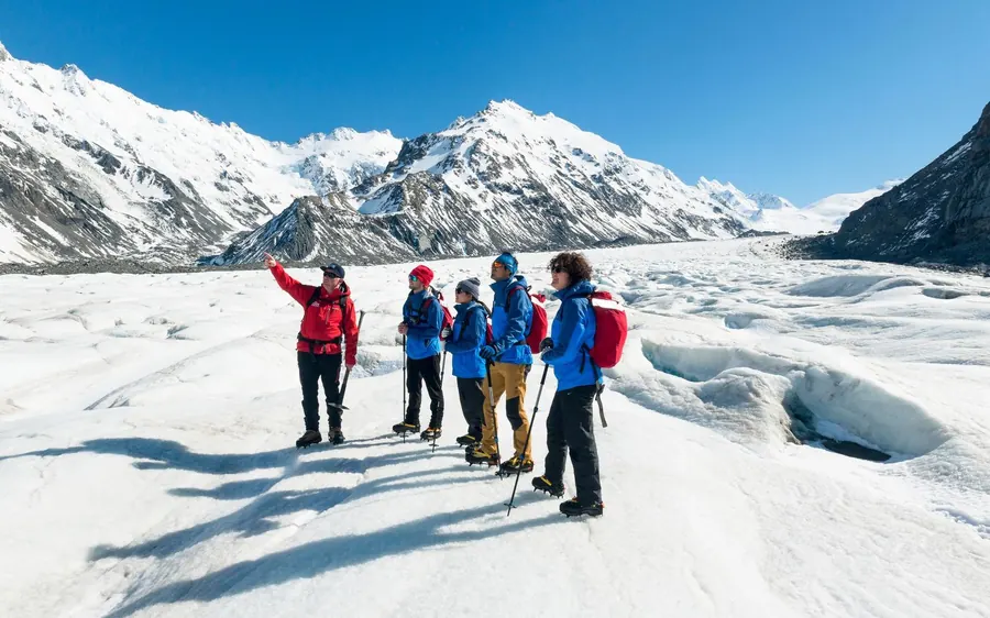
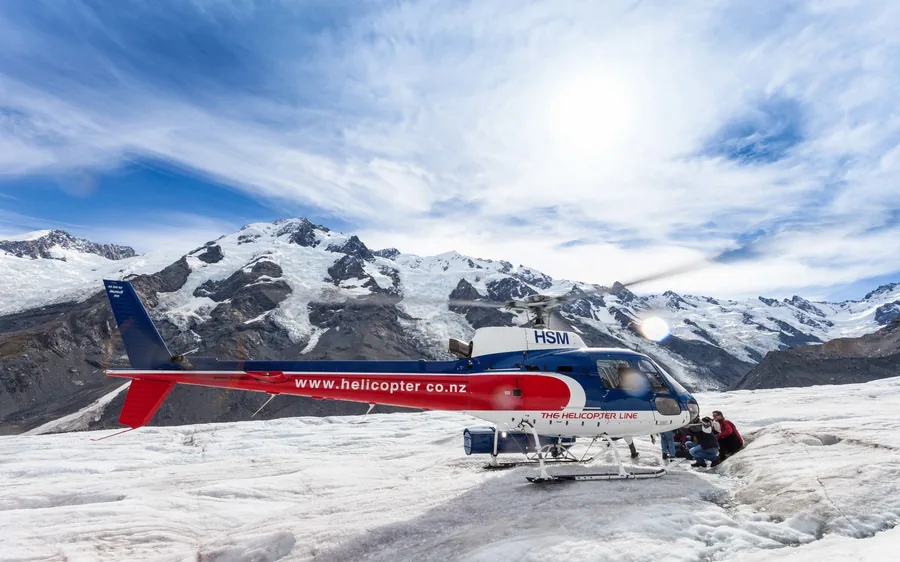
A helicopter lifts out of Aoraki / Mount Cook Village, flies up the valley with the east face of the highest mountain in New Zealand out of one window, and sets down at about thirteen hundred metres on the Tasman Glacier. Then it leaves. What follows is roughly ninety minutes and two and a half kilometres walking in crampons on 23.5 kilometres of moving ice. A Tasman Glacier heli hike is the only way anyone gets onto this glacier, and this page explains exactly why.
Quick answer
The short answer. Book the three-hour trip at $497. Two helicopter transfers, about ninety minutes on the ice, boots, crampons and a jacket supplied, and 322 reviews at 4.9 — the best-reviewed heli hike in the park. Book it for the first morning of your stay and keep a spare day.
Why a helicopter at all
The glacier did not become inaccessible because it is dangerous. It became inaccessible because the bottom of it turned into a lake.
This is the part that decides everything else, and almost no operator page explains it.
The Tasman Glacier held a length of about twenty-eight kilometres for the whole of the twentieth century. In the early 1970s there were a few small meltwater ponds sitting on the lower ice. By 1990 those ponds had merged into a single lake. By 2008 Tasman Lake was around seven kilometres long, two kilometres wide and two hundred and forty-five metres deep, and it had almost doubled in area since 2000.
So the bottom end of the glacier is now under water. You can stand at the Tasman Glacier View Track and look at it from across the lake, and that is as close as feet will take you. There is no track around the lake, no route across it, and nothing you can pay a guide to do about it.
A Tasman Glacier heli hike simply flies over the problem. Five minutes up the valley, a landing on the névé well above the lake, and you are on a part of the glacier that has no ground route at all.
The three hours
The listings say three hours. Here is where they go.
The first hour is gear and briefing. Boots stiff enough to hold a crampon — heavier than anything you own — plus a jacket and a small pack. Crampons are handed over in a bag; they go on once you are up there. If you turn up without sunglasses the operator gives you a pair, and that is not a courtesy: glare off snow at thirteen hundred metres is severe.
Ten minutes is flying. Five each way, and the outbound leg goes up the Tasman valley past the east face of Aoraki. It is the least important part of the day and it is still worth the ticket on its own.
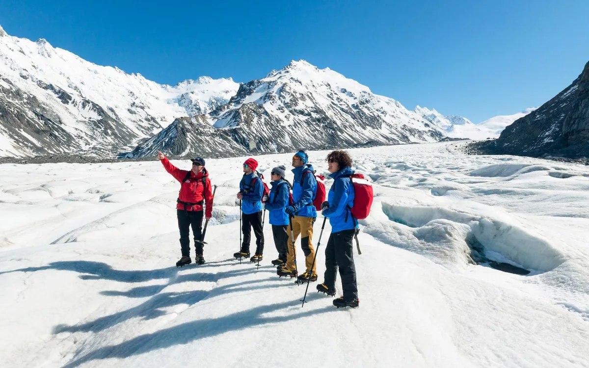
Ninety minutes is walking. About two and a half kilometres, single file, on a route a guide cut that morning — because last week’s route has moved. Crampons make you walk flat-footed and slightly wide, and for the first ten minutes you feel ridiculous. Then it clicks.
The rest is the ground. Boots off, boots on, and the walk between the office and the pad. Nobody photographs it, and it is a third of the trip.
Book direct
Two run out of the village, one comes from Queenstown with scenic flights at each end.
★ 4.9 · 322 reviews
★ 4.8 · 259 reviews
★ 4.3 · 10 reviews
On the ice
It changes week to week — a glacier is a river that happens to be solid — but these are the features guides route towards.
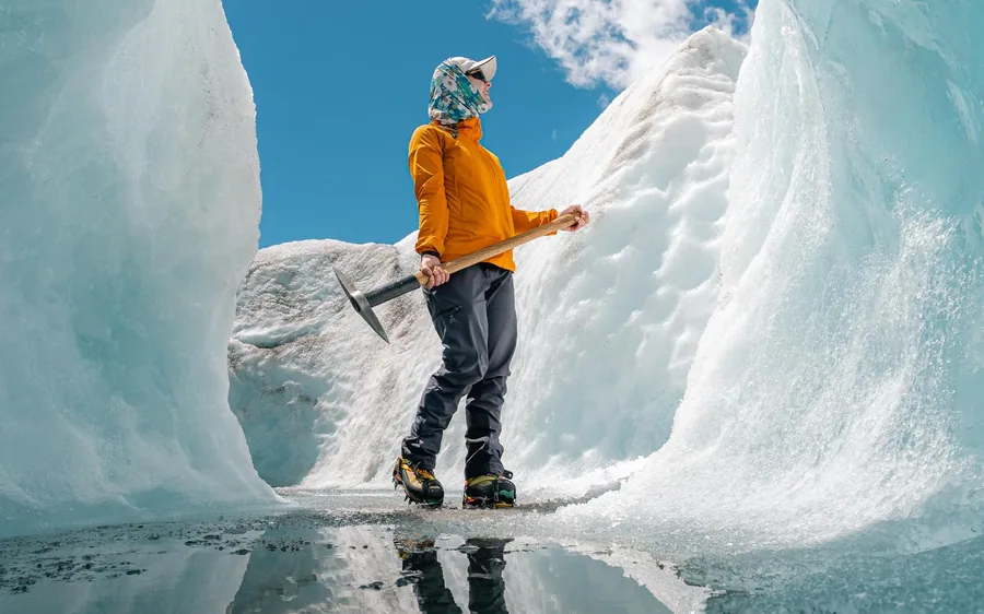
Walls of ice thrown up where the glacier is compressed against itself. You walk between them in corridors that were not there a month ago.
The blue everybody photographs. Ice under this much pressure has had the air squeezed out of it, and dense bubble-free ice absorbs red light and sends blue back. It is strongest deep in a crack.
Seasonal, and the single most-photographed thing here. Summer melt carves passages through the ice; where they are stable the guides walk you through one. Late summer into autumn is when your odds are best, and nobody can promise one.
Vertical shafts where surface water disappears into the glacier and does not come back. You look at them from a safe distance and think about them for the rest of the day.
The lower Tasman carries so much debris that from the viewpoint it reads as grey rubble rather than ice. Up where you land it is clean, and the contrast is the clearest lesson in what a glacier actually does.
Not sure whether to walk on it or just fly over it? The two are less alike than they sound.
Landings, and what ten minutes gives you→Booking it
Book the first morning of your stay. Air over the glacier is stillest early and cloud builds against the Main Divide through the day. A cancellation on day one has somewhere to go; a cancellation on your departure morning does not.
Two operators run the same glacier. The top pick at $497 has 322 reviews at 4.9; the second at $523 has 259 at 4.8. If the first is full for the morning you want, the second is not a downgrade.
Check SH80 as well as the weather. One road in, fifty-five kilometres up Lake Pukaki, and the Department of Conservation says plainly that snow can close it. In winter the highway is a real part of your booking risk.
Free cancellation to twenty-four hours. Which means booking early costs nothing and not booking costs you the clear morning that arrives while you are still deciding.
Common questions
A guided walk on the Tasman Glacier that begins with a five-minute helicopter transfer, because the glacier now ends in a lake and there is no route onto the ice on foot. You land at about 1,300 metres and walk roughly 2.5 kilometres in crampons over about ninety minutes. Boots, crampons and a jacket are supplied.
From $497 for the three-hour trip out of Aoraki / Mount Cook Village. A second operator runs a comparable trip at $523, and the version that starts and ends in Queenstown with scenic flights both ways is $995.
About ninety minutes, covering roughly two and a half kilometres. The three hours in the listing include check-in, the gear fitting, the briefing and both five-minute flights.
Because the bottom of it is under water. Tasman Lake did not exist in 1970, formed as meltponds merged around 1990, and by 2008 was about seven kilometres long and 245 metres deep. There is no track around it and no route across it.
Fit enough to walk on uneven ground for about ninety minutes with some step-ups. There is no climbing and no rope work. If you can manage a rough hill track for an hour and a half, you will be fine.
Boots, crampons, a jacket and a small pack are supplied, and sunglasses if you arrive without. You bring thick socks and a warm layer to go under the jacket. Do not buy hiking boots for this — the operator’s boots are the ones that take a crampon.
It is not better, it is different. The Hooker Valley Track is free, longer and arguably the more beautiful walk. What it cannot do is put you on a glacier. Most people who have two days here do both.
Go deeper
Six marked tracks from the village, with real DOC times and distances.
The famous oneTen kilometres return, three swing bridges, a lake full of icebergs, and it is free.
The hard one2,200 steps and 600 metres of climb, and where the walking stops and mountaineering starts.
The free view300 steps to a viewpoint over a lake that did not exist in 1970.
PricesThree heli hikes priced against the flights and against the walks that cost nothing.
VerdictWhich glacier to walk on, decided on ice time, group size and what is included.
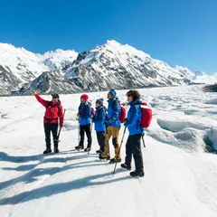
3-Hour Tasman Glacier Heli Hike
★ 4.9 · 646 reviews · Free cancellation 24 h